


Product Description

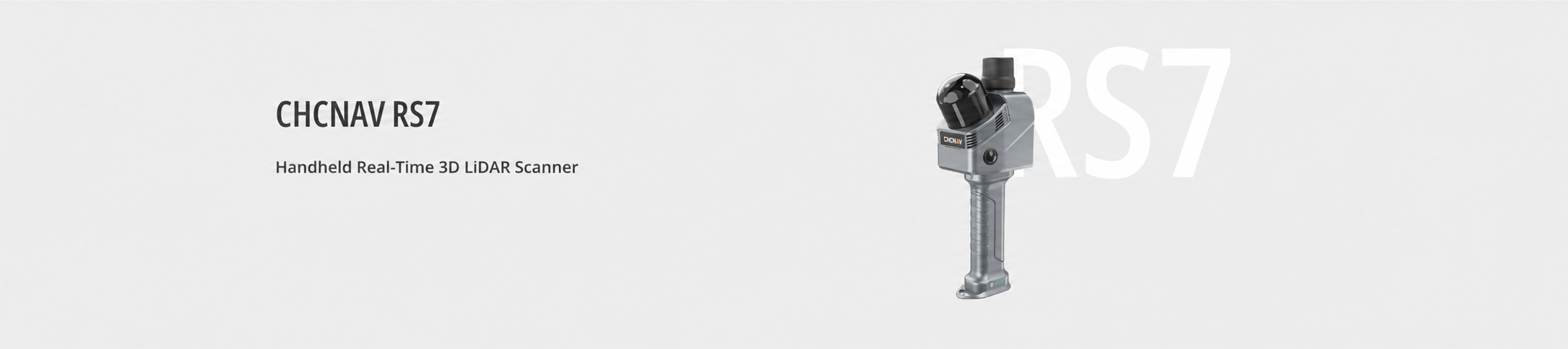
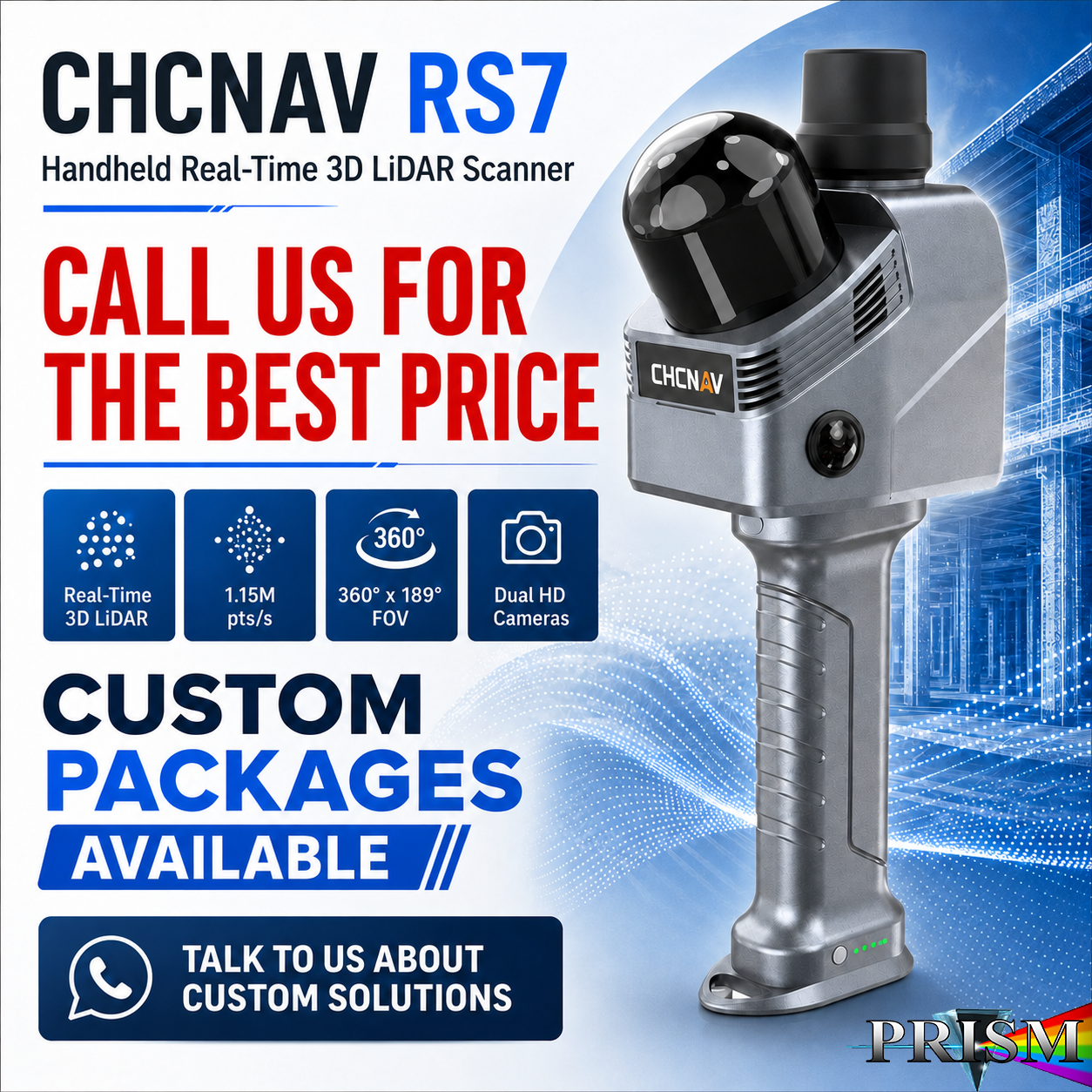
The CHCNAV RS7 is a professional handheld real-time 3D LiDAR SLAM scanner designed for fast, efficient 3D data capture in indoor, building, and feature-poor environments. Built for architecture, construction, renovation, public safety, forensics, facility documentation, and reality capture workflows, the RS7 helps crews collect detailed 3D point clouds and visual data quickly without the complexity of traditional scanning setups.
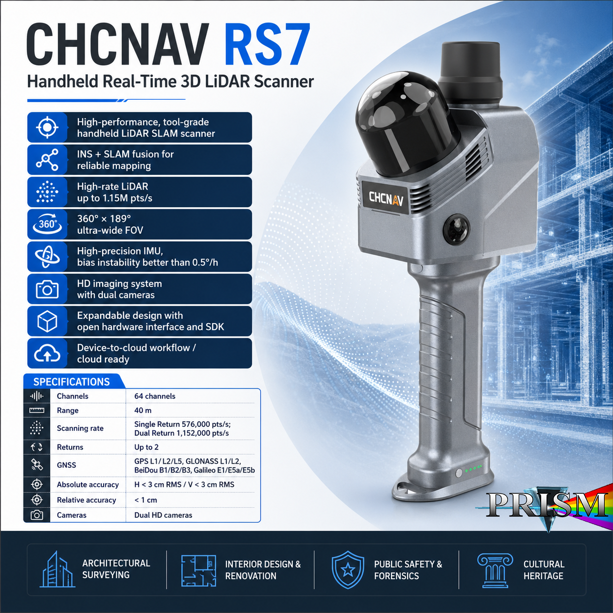
The RS7 combines INS + SLAM fusion, high-rate LiDAR scanning, wide field-of-view coverage, and HD imaging to produce reliable mapping results in spaces such as corridors, staircases, interior rooms, enclosed spaces, tunnels, repetitive structures, and areas where GNSS may be limited or unavailable. Its compact handheld workflow makes it a strong solution for professionals who need to capture existing conditions, document sites, generate point clouds, and support BIM or digital twin deliverables.
With up to 1.15 million points per second, a 360° × 189° ultra-wide field of view, a high-precision IMU, dual-camera imaging, and cloud-ready processing options, the CHCNAV RS7 is built to make 3D scanning faster, more accessible, and more productive for field crews.
Major Features
-
Handheld real-time 3D LiDAR SLAM scanner for fast reality capture
-
INS + SLAM fusion for stable mapping in challenging indoor environments
-
High-rate LiDAR scanning up to 1.15 million points per second
-
360° × 189° ultra-wide field of view for complete scene capture
-
High-precision IMU with bias instability better than 0.5°/h
-
HD imaging system for colored point clouds and visual documentation
-
3D Gaussian Splatting support for realistic scene reconstruction
-
Device-to-cloud workflow for easier uploading, processing, and sharing
-
SmartGo Neo mobile app support for device control, Wi-Fi management, project management, point cloud visualization, playback preview, and project upload
-
Expandable design with open hardware interface and SDK support
-
Ideal for architectural surveying, interior design, renovation, public safety, forensic investigation, cultural heritage, and facility documentation
Specification Table — CHCNAV RS7
| Specification | Details |
|---|---|
| Manufacturer | CHCNAV / CHC Navigation |
| Model | RS7 |
| Product Type | Handheld Real-Time 3D LiDAR SLAM Scanner |
| Primary Use | Indoor mapping, building documentation, reality capture, scanning, BIM, renovation, forensics |
| LiDAR Channels | 64 |
| LiDAR Range | 40 m |
| Scanning Rate | Single Return: 576,000 pts/sec |
| Maximum Scanning Rate | Dual Return: 1,152,000 pts/sec |
| Returns | Up to 2 |
| Field of View | 360° × 189° |
| IMU | High-precision IMU |
| IMU Bias Instability | Better than 0.5°/h |
| Imaging | HD imaging system |
| Camera Specification | Dual-camera imaging system; product specification lists 48 MP × 2 |
| GNSS Support | GPS L1/L2/L5, GLONASS L1/L2, BeiDou B1/B2/B3, Galileo E1/E5a/E5b |
| Absolute Accuracy | Horizontal <3 cm RMS / Vertical <3 cm RMS |
| Relative Accuracy | <1 cm |
| Workflow | Device-to-cloud workflow with CHCNAV CoCloud |
| Mobile App | SmartGo Neo |
| Processing Outputs | Point clouds, mesh models, 3D Gaussian Splatting results |
| Expansion | Open hardware interface and SDK support |
Common Applications
The CHCNAV RS7 is ideal for:
-
Architectural surveying
-
Interior building documentation
-
Existing-condition capture
-
Renovation planning
-
Scan-to-BIM workflows
-
Construction progress documentation
-
Facility management
-
Mechanical room and enclosed-space scanning
-
Corridors, staircases, tunnels, and repetitive structures
-
Public safety and forensic investigation
-
Cultural heritage and preservation
-
Digital twin and 3D visualization workflows
-
Point cloud and mesh model generation
Why Buy the CHCNAV RS7 from PRISM GeoSystems?
Buying a handheld LiDAR scanner is not just about purchasing the hardware — it is about getting the right scanner, software workflow, training, setup support, and local help when your team starts using it in the field.
When you purchase the CHCNAV RS7 from PRISM GeoSystems, you benefit from:
-
Correct workflow guidance: We help you understand whether the RS7 is the right fit for your scanning needs, whether you are capturing interiors, buildings, corridors, job sites, or reality capture data.
-
Package and software support: We can help with scanner setup, software workflow, SmartGo Neo, CoCloud workflow, accessories, and field-use best practices.
-
Training-focused support: A scanner is only valuable when your team knows how to use it. PRISM GeoSystems can help your crew understand practical capture methods, project setup, and workflow expectations.
-
Local technical support: If you have setup questions, connection issues, data workflow questions, or project concerns, you have a local team to contact.
-
One-stop source: Sales, support, training, accessories, and reality capture guidance from one place.
-
Southern California availability: Serving San Diego, Los Angeles, San Bernardino, Colton, San Marcos, Imperial, Riverside, Orange County, and surrounding Southern California areas.